Mapping
This article explains how to access and use the Mapping feature in Encompass under Performance Management > Mapping to monitor Driver or Vehicle locations in real time. The Live Map displays the most recent positions of Drivers or Vehicles, which can be customized by changing the Map Style and refreshing it. The Drivers tab shows personnel using Encompass® ELDs, while the Vehicles tab displays tracked Vehicles. Users can click a Unit Code to center the map on a specific Driver or Vehicle. For Drivers or Vehicles to appear, they must be connected to an ELD and have an active internet or network connection to transmit GPS data to Encompass.
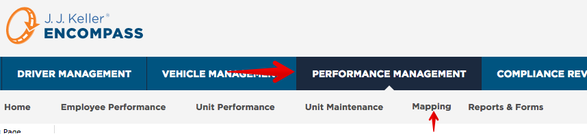
To start, go to Performance Management > Mapping.
Live Map
The Live Map or Most Recent Position Map is what is shown when mapping is first clicked.
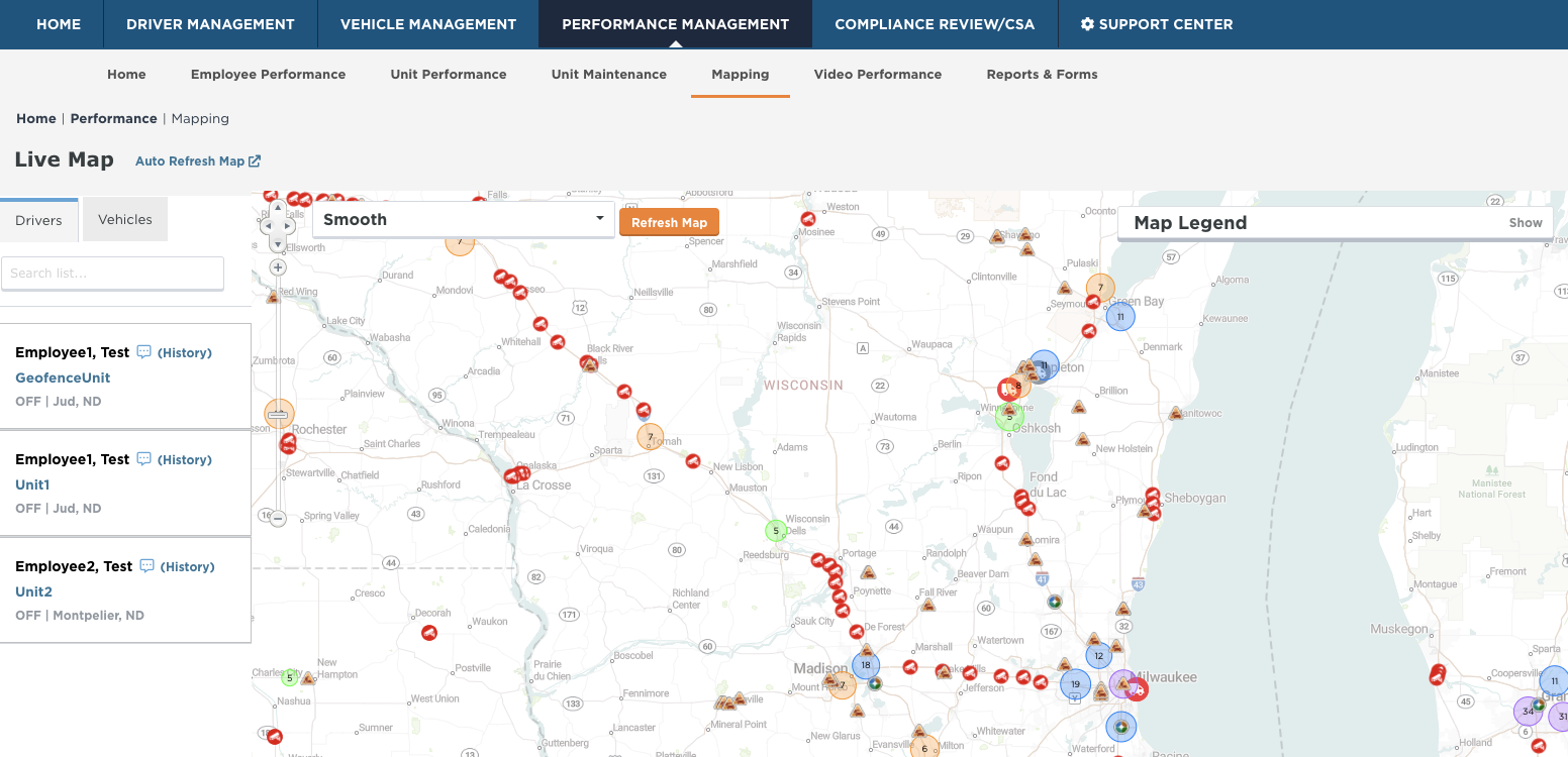
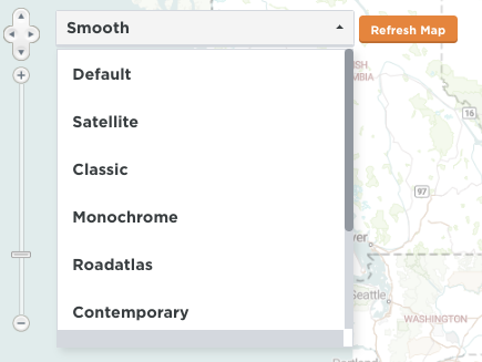
The map style can be changed by clicking the drop-down in the upper left-hand corner of the map, selecting a new style, and clicking Refresh Map.
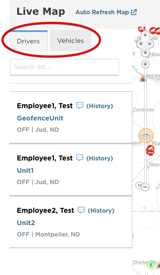
The list of drivers on the map is listed to the left of the map. The drivers listed here under the Drivers tab are utilizing ELDs with the Encompass® ELD application. If utilizing Vehicle Tracking, the list of tracked vehicles will be under the Vehicles tab. Click on the Unit Code to zoom in and center on that specific ELD/Vehicle Tracking Device.
Note: Drivers/Vehicles cannot be added to this list directly.
What if there are drivers missing from this list?
Since the drivers are populated from the Encompass® ELD application utilizing an ELD, the driver needs to be connected to the ELD, which provides the GPS information. Additionally, the driver must have internet/network connection for that information to be transmitted from the ELD application to Encompass.